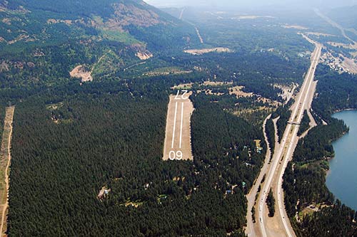
Easton State Airport runway
Airport Alert
Exceptions: Open for emergency services, police, and fire flight training only during winter closed period. Limited Military flight training may be approved on a case-by-case basis. All winter access prior permission required.
Please check NOTAM’s for actual spring opening date that may amend the published FAA Chart Supplement June 1 opening date. All use at own risk.
Contact the State Airports Manager at paul.wolf@wsdot.wa.gov or 360-618-2477 for additional questions.
Location
ID
Sponsor
Rules
 Camping
 Picnics
 Fire rings
 Outhouse
 No water
 Facilities
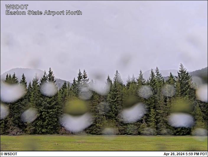
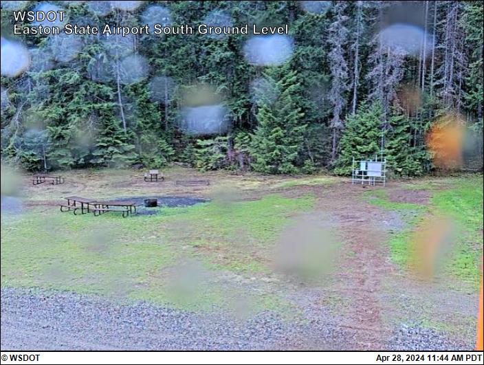
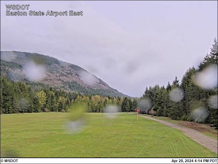
Airport Cameras
Available information for airport
Easton airport was constructed in the 1930's by the federal government as an emergency field for DC-3s crossing the Cascades through Snoqualmie Pass. It was acquired by the state in 1958 to preserve it for future use. Easton remains an important airport on the eastern approaches to Snoqualmie and Stampede Pass. Perhaps one of our most visited airports, it has the ingredients to make it a one-of-a-kind airport. This field has medium intensity lighting coupled with ample room for parking, camping, hiking, and just relaxing in the quiet of nature. There is a stream at the east end of the airport which runs as clear as any you have seen. A small store is approximately one mile south on the access road.
The runway is 2,640 feet of turf, with a 300-foot displaced threshold on the west end. Field elevation is 2221 feet, and density altitude problems can be encountered in the summer. Trees surround the airport and there are trees in both approaches close in. Deer, elk, turkeys are common visitors at this airport. Recreational ATVs and motorcyclists can use the perimeter access road but should not be on the airport runway. The surface is somewhat rough and will be soft when wet. We recommend an overflight to check field conditions and obstructions. The airport is generally open from June 1 to Oct. 1.
The airport is visited by approximately 30 aircraft per month. It is an excellent facility for mountain flying/soft field practice.
The Boeing Employees Flying Association (BEFA) has adopted this airport and conducts annual spring volunteer maintenance though the Adopt an Airport Program.
The web camera is owned and operated by Washington State Department of Transportation (WSDOT) Aviation.
The camera is located on a new tower placed on the south side about mid-field and has a new obstruction beacon. The camera captures four views that should indicate the direction: North, South, East, and West along with a time/date stamp. The camera operates 24 hours a day with the images updating every 15 minutes.
To report a problem with the camera contact: Paul Wolf, 360-618-2477 or email paul.wolf@wsdot.wa.gov.
All information subject to use disclaimer.
Aviation disclaimer: The web cam images are being provided as a service for pilots to view current airport conditions. They should not take the place of a pilot’s responsibility for obtaining a regulatory compliant weather briefing prior to flight from automated resources or from Flight Service.