
Desert Aire Airport runway.
Location
ID
Sponsor
Airport Cameras
Available information for airport
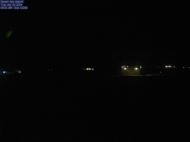
This camera image is provided by Grant County Airport District #1 and Desert Aire Owners Association. The image updates every 5 minutes. Since this is not a WSDOT camera please use your browser “refresh” button to view image updates.
The camera is located just across the taxiway from the lighted windsock which is east of mid-field on the south side of the runway.
The camera is facing North toward the windsock and across Rwy 10-28 with the tops of the Saddle mountains north of the airport in the picture. The runway can be seen mid-frame just past the segmented circle.
To report a problem with the camera contact Bob Trantina, Airport Manager at (509) 596-2298 or email rjtrantina@grantcountywa.gov.
All information subject to use disclaimer. The web cam images are being provided as a service for pilots to view current airport conditions. They should not take the place of a pilot’s responsibility for obtaining a regulatory compliant weather briefing prior to flight from automated resources or from Flight Service.