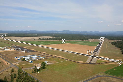
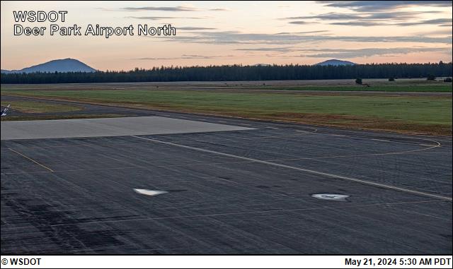
Deer Park Airport runway.
Location
ID
Sponsor
Weather information
Airport Cameras
Available information for airport
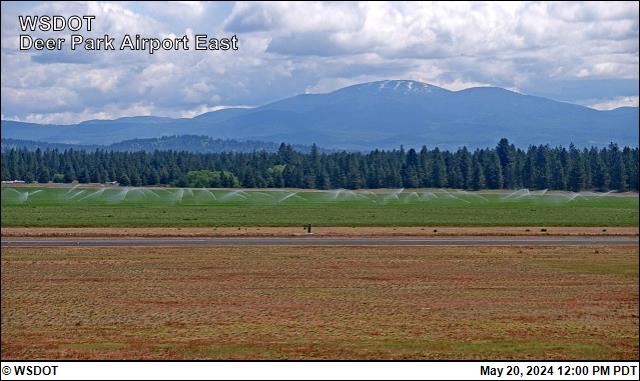
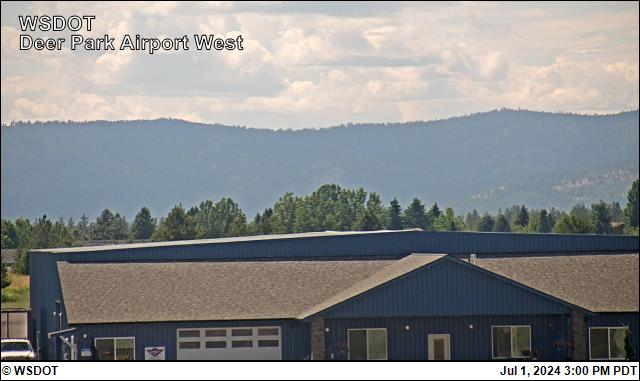
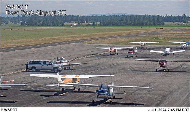
This web camera was purchased with WSDOT Aviation Security Grant Program funds and is operated courtesy of the City of Deer Park - Deer Park Municipal Airport.
The camera is mounted on a light pole located midfield at the fuel island on the west side of the aircraft parking ramp. The view to the east (approx. 085 mag.) provides a view of Mt. Spokane, elev. 5,883 feet, at a distance of 13.5 nautical miles. The view to the west (approx. 255 mag.) provides a view of the hills to the west, elev. 4,046 feet, at a distance of 9 nautical miles. The view to the southeast (approx. 148 mag.) provides a view of northeastern Spokane and shows ramp conditions (i.e. ice, snow build-up, etc.). The view to the north (approx. 345 mag.) provides a view of the hills to the north with varying elevations and distances.
The images displayed should indicate the direction "east, west, southeast, and north" along with a time/date stamp.
The camera operates 24 hours a day with the images updating every 15 minutes.
To report a problem with the camera, contact: Deer Park Municipal Airport office, 509-276-3379.
All information subject to use disclaimer.
Aviation disclaimer: The web cam images are being provided as a service for pilots to view current airport conditions. They should not take the place of a pilot’s responsibility for obtaining a regulatory compliant weather briefing prior to flight from automated resources or from Flight Service.