Planning study news
Following the State Route 532 corridor sketch in 2017, several strategies and actions were outlined to keep the corridor working well and to address performance gaps needing further evaluation. This baseline analysis intended to provide further evaluation before the implementation of any strategy.
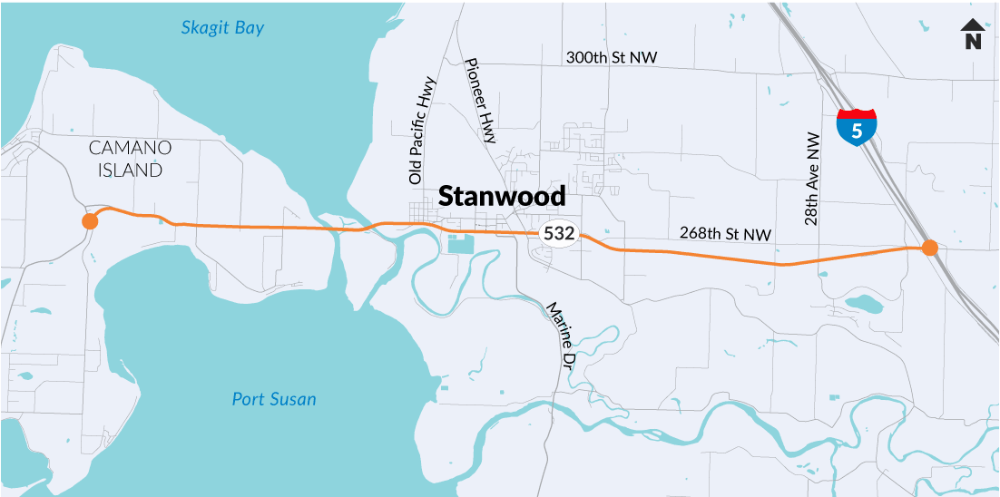
WSDOT, in partnership with the City of Stanwood, Island County, Snohomish County, Island Transit, Community Transit and Island Regional Transportation Organization, conducted an existing conditions analysis of the SR 532 corridor between Terry’s Corner (milepost 0) and Interstate 5 (milepost 10).
Purpose
SR 532 is the primary east-west corridor to I-5 for the City of Stanwood, Camano Island and unincorporated areas of Snohomish County. Over the last several years, this area has experienced increased levels of vehicular and commercial truck traffic during peak travel periods. In addition, the Island Regional Transportation Planning Organization (IRTPO) and the city of Stanwood identified congestion as a major transportation and economic development concern in the region.
To address these concerns, WSDOT Northwest Region Mount Baker Area worked with the City of Stanwood, IRTPO, Island County, Snohomish County, and Island Transit and Community Transit to conduct an existing conditions baseline analysis of SR 532 to determine if the corridor is meeting regional transportation performance expectations.